

Ever wondered how weather forecasts are so accurate, or how we can map out remote forests or even predict natural disasters? The secret lies high above us in space, orbiting our planet—satellites. Satellite data has become a game-changer, especially for data analysts and environmental scientists. In this blog post, we’ll explore the immense benefits of satellite data, its role in various fields, and what the future holds.
Satellite data refers to the information collected by satellites orbiting the Earth. This data is used in multiple fields, from agriculture and urban planning to disaster management and climate monitoring. For data analysts and environmental scientists, satellite data not only enhances their research but also provides actionable insights that drive informed decisions.
In the following sections, we’ll dig deep into the benefits of satellite data, the challenges it presents, and how they can be overcome. We’ll also look at real-world case studies and future trends in satellite data technology.
What is Satellite Data?
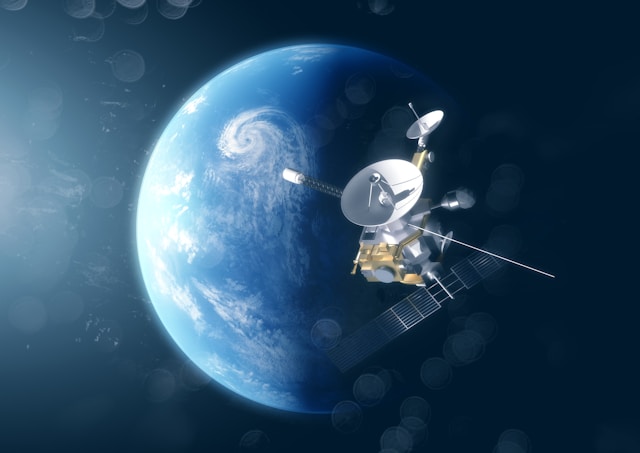
Satellite data is the information gathered by satellites using various sensors and instruments. These satellites can capture images, measure environmental variables, and even detect signals sent from Earth. The data can be either raw or processed, depending on the application.
Importance in Various Fields
Satellite data is invaluable across several fields:
- Agriculture: Monitoring crop health and predicting yields.
- Urban Planning: Mapping out cities and managing infrastructure.
- Disaster Management: Predicting and assessing the impact of natural disasters.
- Environmental Science: Monitoring climate change and studying ecosystems.
For data analysts and environmental scientists, satellite data acts as a comprehensive and reliable source of information. It aids in making informed decisions, conducting extensive research, and implementing effective solutions.
Enhanced Decision Making
Real-World Examples
Satellite data significantly improves decision-making processes. For instance, in agriculture, farmers can use satellite data to monitor crop health, detect pests, and manage resources efficiently. This leads to higher yields and reduced costs.
In urban planning, satellite data helps authorities manage infrastructure, plan new developments, and monitor traffic patterns. This data-driven approach ensures sustainable development and efficient resource allocation.
Environmental Monitoring
Satellite data plays a crucial role in environmental monitoring. It provides real-time information on climate change, deforestation, and other environmental issues. For example, NASA’s Terra and Aqua satellites have been instrumental in monitoring global temperatures, helping scientists understand climate patterns and predict future changes.
Data Analysis
Data analysts use satellite data to derive insights and patterns. For example, they can analyze satellite images to study urban growth, track weather patterns, or monitor natural disasters. This data is essential for creating predictive models and making data-driven decisions.
Environmental Monitoring
Role in Monitoring Climate Change
Satellite data is essential for monitoring climate change. It provides accurate and real-time data on global temperatures, sea levels, and greenhouse gas concentrations. This data helps scientists understand the impact of climate change and develop strategies to mitigate its effects.
Natural Disasters
Satellites play a vital role in disaster management. They provide real-time data on natural disasters such as hurricanes, earthquakes, and floods. This data helps authorities predict the impact of these disasters, plan evacuations, and provide timely assistance to affected areas.
Urban Development
Satellite data is crucial for monitoring urban development. It helps authorities plan new developments, manage infrastructure, and monitor traffic patterns. This data-driven approach ensures sustainable urban growth and efficient resource allocation.
Monitoring Deforestation
Satellite data is instrumental in monitoring deforestation. High-resolution images from satellites allow scientists and conservationists to track changes in forest cover over time. By comparing satellite images from different periods, experts can identify areas where deforestation is occurring and assess the rate at which forests are being cleared. This real-time monitoring capability is crucial for enforcing environmental laws and for the management of protected areas.
Data Analysis
Insights and Patterns
Data analysts use satellite data to derive insights and patterns. They analyze satellite images to study urban growth, monitor weather patterns, and track natural disasters. This data is essential for creating predictive models and making data-driven decisions.
Predictive Models
Satellite data is crucial for creating predictive models. For example, scientists use satellite data to predict weather patterns, monitor natural disasters, and study climate change. These predictive models help authorities plan and implement effective strategies.
Data-Driven Decisions
Satellite data enables data-driven decisions. By analyzing satellite data, authorities can make informed decisions about resource allocation, disaster management, and urban development. This data-driven approach ensures efficient and effective solutions.
Challenges and Solutions
Data Accuracy
One of the main challenges in using satellite data is ensuring its accuracy. Satellite data can be affected by various factors such as atmospheric conditions, sensor errors, and data processing techniques. However, advancements in technology and data processing algorithms are improving the accuracy of satellite data.
Privacy Concerns
Another challenge is privacy concerns. Satellite data can capture images of private properties and sensitive areas, raising privacy issues. To address these concerns, authorities are implementing strict regulations and guidelines on the use of satellite data.
Cost
The cost of acquiring and processing satellite data is another challenge. Satellites are expensive to build, launch, and maintain. However, advancements in technology are reducing the cost of satellite data, making it more accessible to researchers and organizations.
Future of Satellite Data
Predictions
The future of satellite data looks promising. With advancements in technology, the accuracy and accessibility of satellite data are expected to improve. This will enable more effective and efficient solutions in various fields such as agriculture, urban planning, and disaster management.
Upcoming Trends
Upcoming trends in satellite data include the use of AI and machine learning algorithms to analyze satellite data, the development of small and affordable satellites, and the integration of satellite data with other data sources such as drones and IoT devices.
Impact on Various Sectors
The impact of satellite data on various sectors is expected to increase. In agriculture, satellite data will enable more efficient resource management and higher crop yields. In urban planning, it will enable sustainable development and efficient infrastructure management. In disaster management, it will enable more accurate predictions and timely assistance.
Conclusion
Satellite data is a crucial tool for data analysts and environmental scientists. It provides accurate and real-time data on various aspects such as climate change, urban development, and natural disasters. The benefits of satellite data include enhanced decision-making, effective environmental monitoring, and valuable insights for data analysis. Although there are challenges in using satellite data, advancements in technology are addressing these challenges and making satellite data more accessible and accurate.
The future of satellite data looks promising, with upcoming trends such as the use of AI and machine learning, the development of small and affordable satellites, and the integration of satellite data with other data sources. These advancements are expected to increase the impact of satellite data on various sectors and enable more effective and efficient solutions.
If you’re interested in exploring more about the benefits and applications of satellite data, consider signing up for our newsletter or joining our community of data analysts and environmental scientists. Let’s harness the power of satellite data to create a better future.

